
SURVEYING · MAPPING · INFRASTRUCTURE
Shiv Ansh Infra — DGPS surveys, road and rail alignment, engineering drawings & telecom tower solutions.
Jabalpur, Madhya Pradesh & neighboring regions
SHIV ANSH INFRA
Shiv Ansh Infra specializes in high-precision engineering surveys, DGPS mapping, BSNL tower construction, and regional infrastructure projects across Madhya Pradesh and neighboring regions.
Explore our field survey photographs and CAD drawings below to see the work behind our services.
View Technical Drawings →High-precision site operations and equipment management.
High-precision GNSS/DGPS land mapping, ground control points (GCP), and topographical surveys.
End-to-end BSNL telecom tower foundation, erection, soil testing, and site execution work.
Advanced survey gear rentals, site supervision, and field data collection.
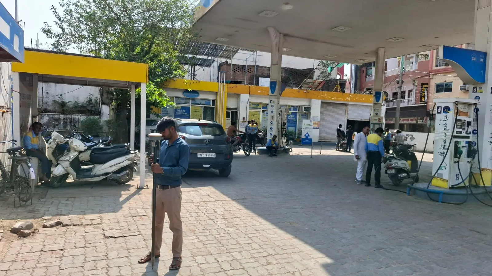
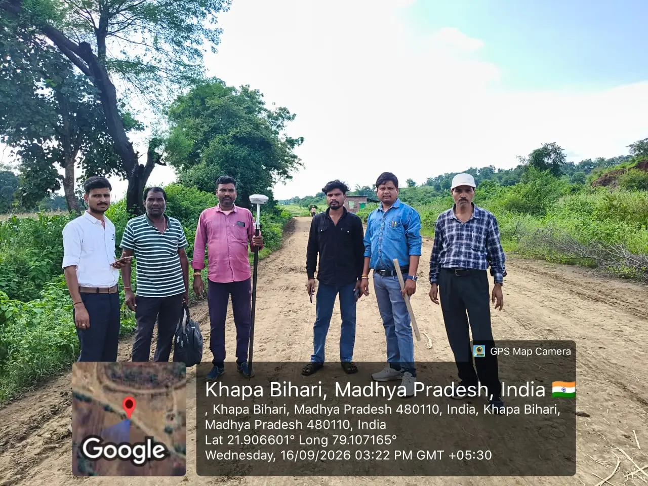
On-site survey measurements in Morena.

On-site measurements and terrain data collection.
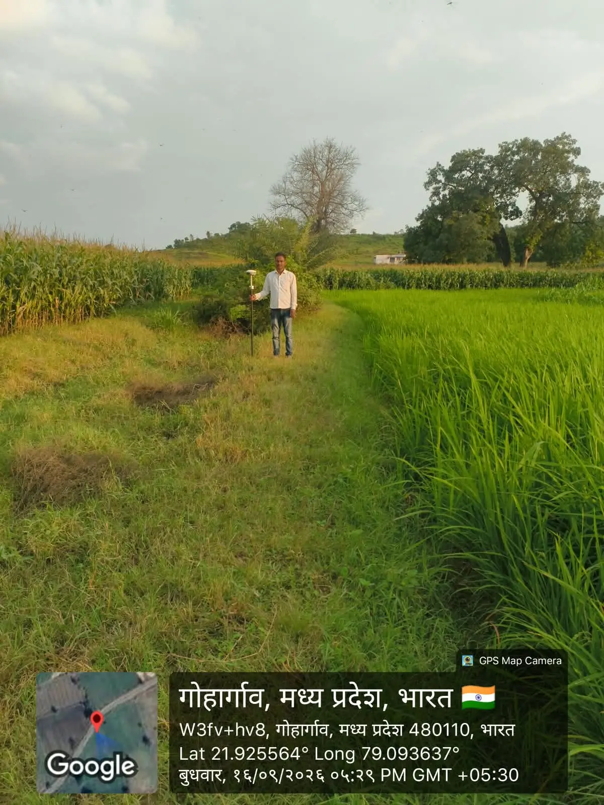
Ground data collection with survey equipment.
Accurate CAD drawings: L-Sections, Cross Sections, and Contour Maps.
Detailed profile plotting showing EGL, proposed formation levels, gradients, and cut & fill depths.
Perpendicular level profiles for earthwork volume calculations and embankment design.
High-precision 2D/3D contour maps generated from DGPS/Total Station data.

Ground levels and road design profile.
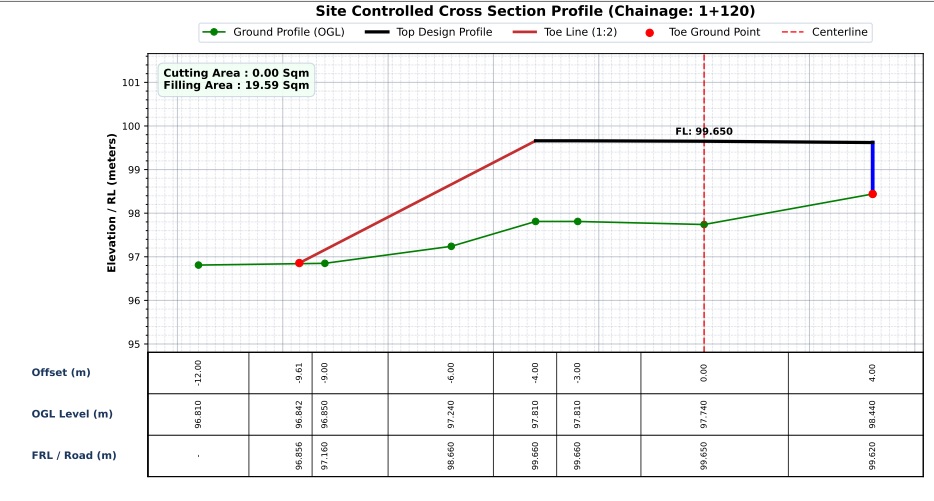
Volume calculations & earthwork sections.
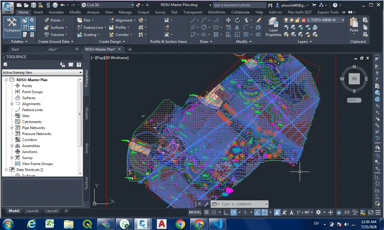
3D surface models and contour lines.
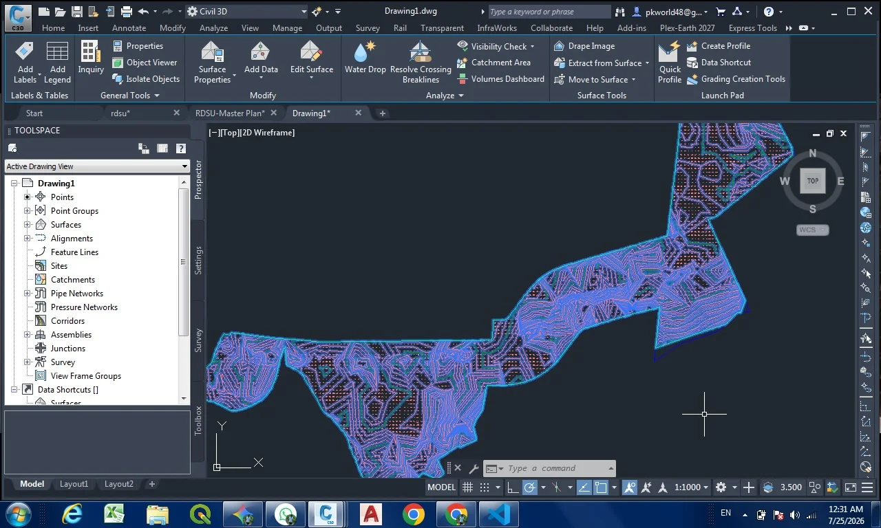
Terrain contours and site boundaries in CAD.
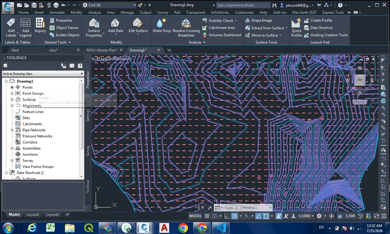
Site surface and topographical drawing sample.
Hands-on Apprenticeship Program specially designed for new B.Tech (Civil/Infra) and ITI (Surveyor/Draftsman/Civil) students.

Role: Graduate Engineer Apprentice
Learn end-to-end project management, DGPS processing, highway alignment, and site supervision.
Role: Technician/Surveyor Apprentice
Training in DGPS & Total Station handling, AutoCAD drawing execution (L-Section, Cross Section), and field execution.